- Български
- English
Languages:
This site is created using Wikimapia data. Wikimapia is an open-content collaborative map project contributed by volunteers around the world. It contains information about 32067267 places and counting.
Learn more about Wikimapia and cityguides.
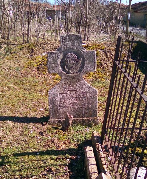
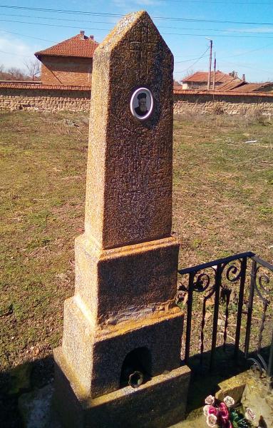
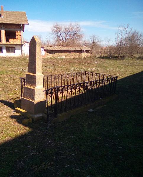
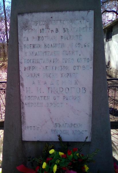
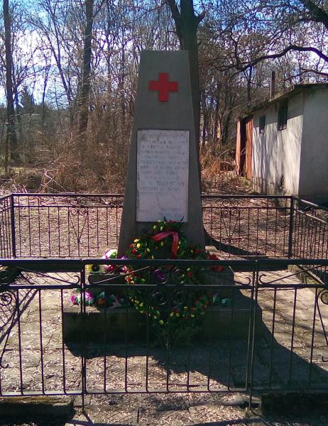
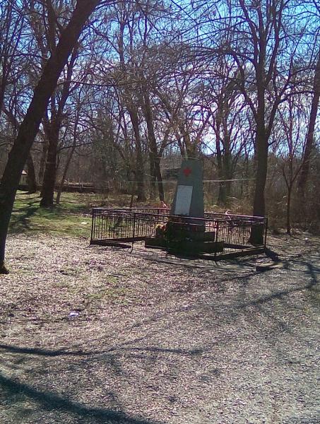
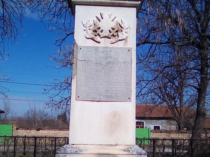
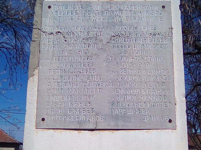
Balgarene
This city has no description information.
Balgarene on the map.